|
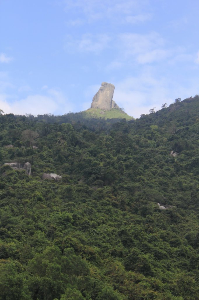 |
| They call it Bia Da Stone | |
| Latitude: N 12°53'22,51" | Longitude: E 109°23'18,82" | Altitude: 11 metres | Location: Phong So | State/Province: Kon Tum | Country: Vietnam | Copyright: Ron Harkink | See map | |
| Total images: 26 | Help | |
|
|
|
| They call it Bia Da Stone | |
| Latitude: N 12°53'22,51" | Longitude: E 109°23'18,82" | Altitude: 11 metres | Location: Phong So | State/Province: Kon Tum | Country: Vietnam | Copyright: Ron Harkink | See map | |
| Total images: 26 | Help | |